 |
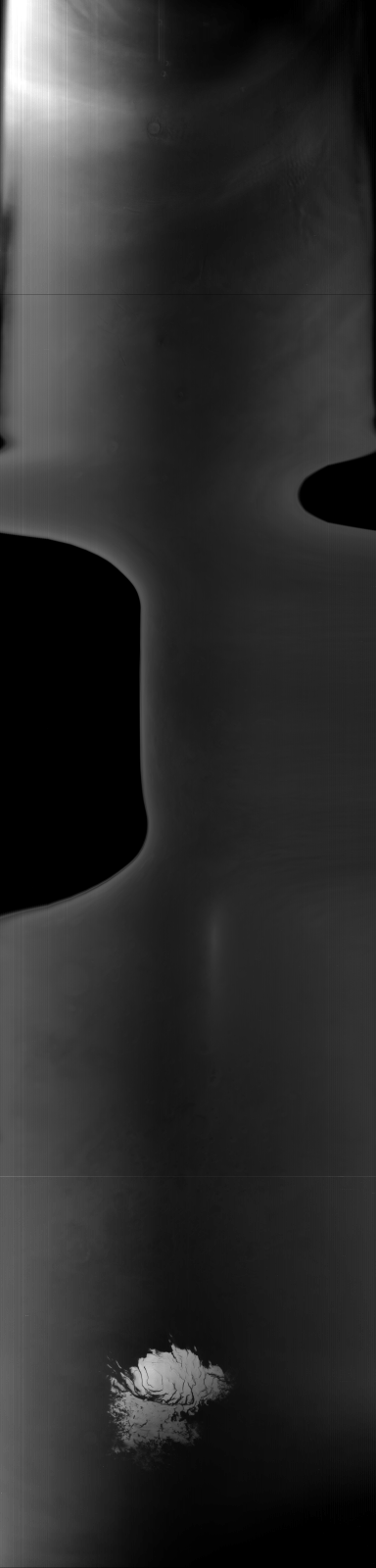
MOC global-map image R10-05147
global map swath

Ancillary data for MOC global-map image R10-05147
Acquisition parameters
     Image ID (picno): R10-05147
     Image start time: 2003-10-30T10:11:11.68 SCET
         Image  width:    384      pixels
         Image height:   1600      pixels
Line integration time:     80.4800 millisec
    Downtrack summing:     27
     Compression type: MOC-NONE
            Gain mode:     76 (hexadecimal)
          Offset mode:      5 (decimal)
|
Derived values
Longitude of image center: 207.05°W Latitude of image center: 25.30°S Scaled pixel width: 9043.15 meters Scaled image width: 104.35 km Scaled image height: 10297.33 km Solar longitude (Ls): 289.23° Local True Solar Time: 13.08 decimal hours Emission angle: 35.40° Incidence angle: 21.24° Phase angle: 54.71° North azimuth: 94.31° Sun azimuth: 3.69° Spacecraft altitude: 374.56 km Slant distance: 448.52 km |
Policy regarding use of processed images
Release date: 27 September 2004