 |
MOC global-map image R10-01332
global map swath

Ancillary data for MOC global-map image R10-01332
Acquisition parameters
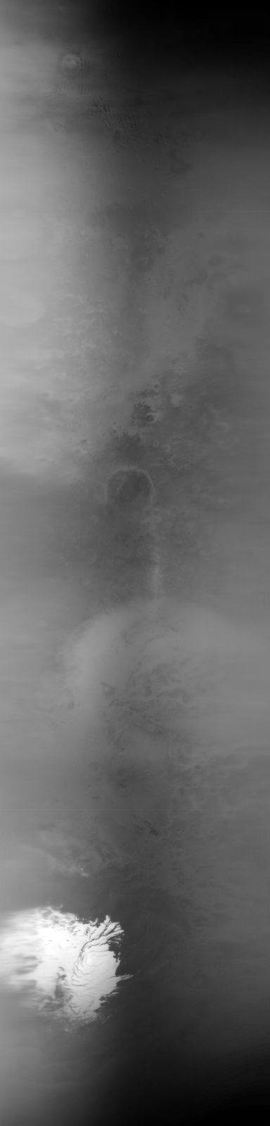
     Image ID (picno): R10-01332
     Image start time: 2003-10-08T02:26:52.12 SCET
         Image  width:    384      pixels
         Image height:   1600      pixels
Line integration time:     80.4800 millisec
    Downtrack summing:     27
     Compression type: MOC-NONE
            Gain mode:     6A (hexadecimal)
          Offset mode:      5 (decimal)
|
Derived values
Longitude of image center: 302.16°W Latitude of image center: 25.41°S Scaled pixel width: 6371.07 meters Scaled image width: 0.00 km Scaled image height: 10312.12 km Solar longitude (Ls): 275.41° Local True Solar Time: 13.56 decimal hours Emission angle: 0.65° Incidence angle: 27.56° Phase angle: 26.99° North azimuth: 93.44° Sun azimuth: 357.48° Spacecraft altitude: 375.67 km Slant distance: 375.69 km |
Policy regarding use of processed images
Release date: 27 September 2004