 |
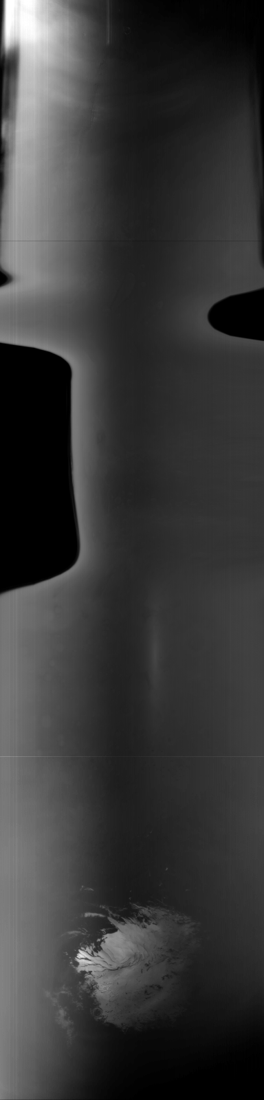
MOC global-map image R09-02878
global map swath

Ancillary data for MOC global-map image R09-02878
Acquisition parameters
     Image ID (picno): R09-02878
     Image start time: 2003-09-22T07:49:54.47 SCET
         Image  width:    384      pixels
         Image height:   1600      pixels
Line integration time:     80.4800 millisec
    Downtrack summing:     27
     Compression type: MOC-NONE
            Gain mode:     76 (hexadecimal)
          Offset mode:      5 (decimal)
|
Derived values
Longitude of image center: 176.69°W Latitude of image center: 28.96°S Scaled pixel width: 7719.80 meters Scaled image width: 378.36 km Scaled image height: 10267.86 km Solar longitude (Ls): 265.50° Local True Solar Time: 13.62 decimal hours Emission angle: 32.09° Incidence angle: 28.15° Phase angle: 49.88° North azimuth: 94.86° Sun azimuth: 5.21° Spacecraft altitude: 375.11 km Slant distance: 434.38 km |
Policy regarding use of processed images
Release date: 20 April 2004