 |
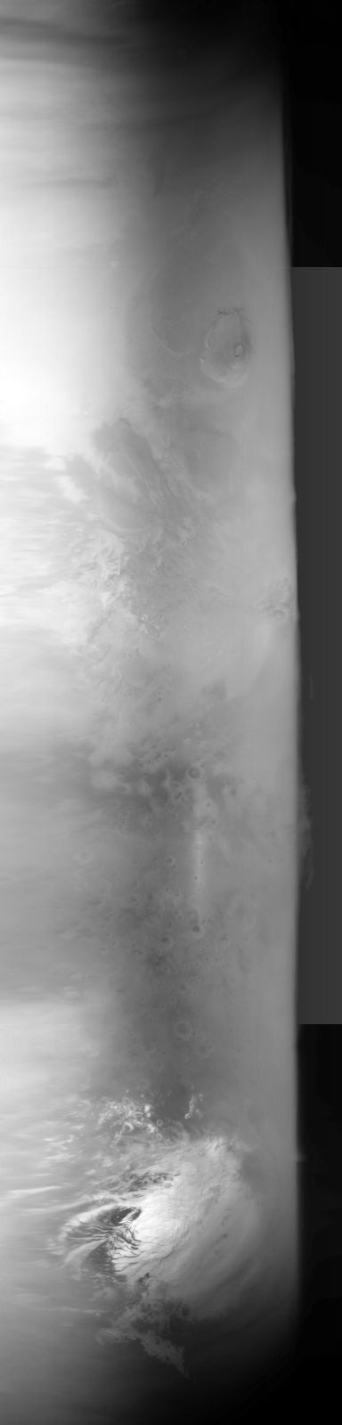
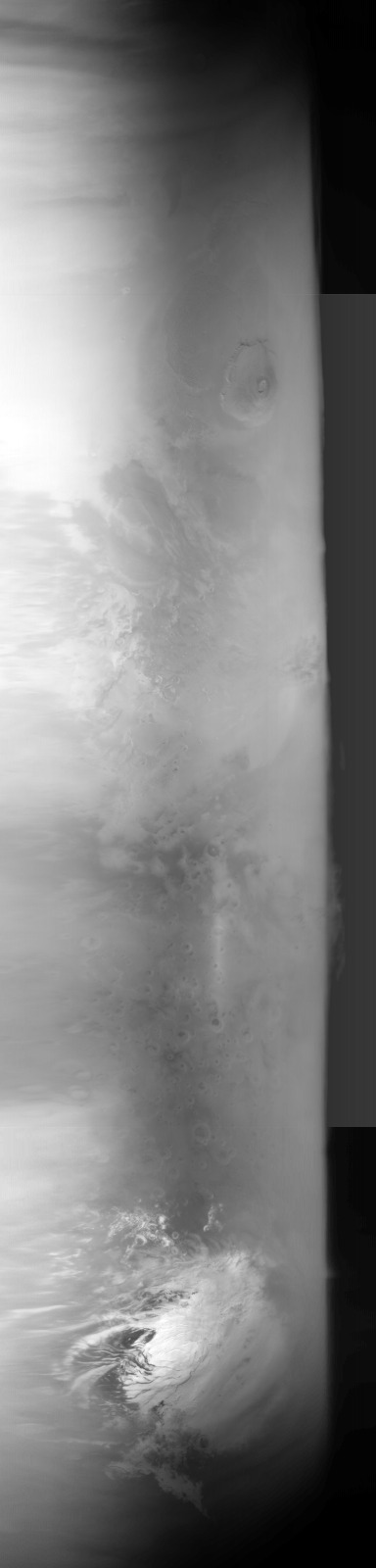
MOC global-map image R09-00324
global map swath

Ancillary data for MOC global-map image R09-00324
Acquisition parameters
     Image ID (picno): R09-00324
     Image start time: 2003-09-04T18:06:34.96 SCET
         Image  width:    384      pixels
         Image height:   1600      pixels
Line integration time:     80.4800 millisec
    Downtrack summing:     27
     Compression type: MOC-NONE
            Gain mode:     6A (hexadecimal)
          Offset mode:      5 (decimal)
|
Derived values
Longitude of image center: 137.83°W Latitude of image center: 26.64°S Scaled pixel width: 6730.12 meters Scaled image width: 256.85 km Scaled image height: 10356.50 km Solar longitude (Ls): 254.37° Local True Solar Time: 13.97 decimal hours Emission angle: 18.42° Incidence angle: 33.11° Phase angle: 31.87° North azimuth: 92.56° Sun azimuth: 358.53° Spacecraft altitude: 374.71 km Slant distance: 392.77 km |
Policy regarding use of processed images
Release date: 20 April 2004