 |
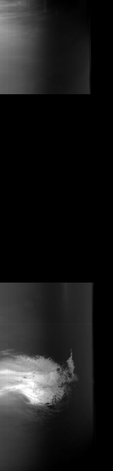
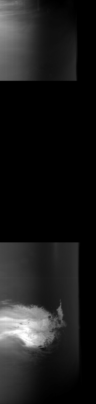
MOC global-map image R09-00094
global map swath

Ancillary data for MOC global-map image R09-00094
Acquisition parameters
     Image ID (picno): R09-00094
     Image start time: 2003-09-02T07:15:50.75 SCET
         Image  width:    384      pixels
         Image height:   1600      pixels
Line integration time:     80.4800 millisec
    Downtrack summing:     27
     Compression type: MOC-NONE
            Gain mode:     76 (hexadecimal)
          Offset mode:      5 (decimal)
|
Derived values
Longitude of image center: 4.81°W Latitude of image center: 27.93°S Scaled pixel width: 11448.61 meters Scaled image width: 87.69 km Scaled image height: 10346.24 km Solar longitude (Ls): 252.81° Local True Solar Time: 13.59 decimal hours Emission angle: 45.65° Incidence angle: 28.11° Phase angle: 70.63° North azimuth: 96.98° Sun azimuth: 7.87° Spacecraft altitude: 375.53 km Slant distance: 511.73 km |
Policy regarding use of processed images
Release date: 20 April 2004