 |
MOC global-map image R05-02388
global map swath

Ancillary data for MOC global-map image R05-02388
Acquisition parameters
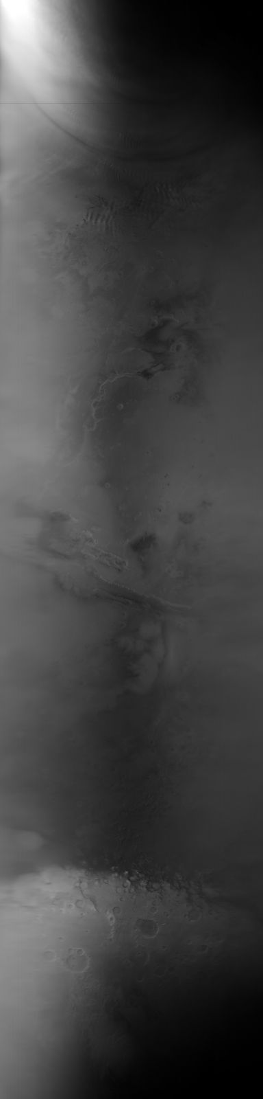
     Image ID (picno): R05-02388
     Image start time: 2003-05-29T22:12:08.45 SCET
         Image  width:    384      pixels
         Image height:   1600      pixels
Line integration time:     80.4800 millisec
    Downtrack summing:     27
     Compression type: MOC-NONE
            Gain mode:     4A (hexadecimal)
          Offset mode:      5 (decimal)
|
Derived values
Longitude of image center: 63.94°W Latitude of image center: 5.46°S Scaled pixel width: 6792.16 meters Scaled image width: 0.00 km Scaled image height: 10514.51 km Solar longitude (Ls): 193.87° Local True Solar Time: 14.41 decimal hours Emission angle: 17.46° Incidence angle: 43.02° Phase angle: 45.23° North azimuth: 93.59° Sun azimuth: 0.86° Spacecraft altitude: 382.16 km Slant distance: 398.61 km |
Policy regarding use of processed images
Release date: 20 April 2004