 |
MOC global-map image R03-01018
global map swath
Ancillary data for MOC global-map image R03-01018
Acquisition parameters
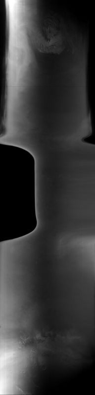
     Image ID (picno): R03-01018
     Image start time: 2003-03-20T17:16:43.18 SCET
         Image  width:    384      pixels
         Image height:   1600      pixels
Line integration time:     80.4800 millisec
    Downtrack summing:     27
     Compression type: MOC-DCT-1
            Gain mode:     46 (hexadecimal)
          Offset mode:      5 (decimal)
|
Derived values
Longitude of image center: 311.08°W Latitude of image center: 15.99°N Scaled pixel width: 8755.55 meters Scaled image width: 124.69 km Scaled image height: 10403.63 km Solar longitude (Ls): 155.02° Local True Solar Time: 14.00 decimal hours Emission angle: 30.18° Incidence angle: 36.54° Phase angle: 64.97° North azimuth: 95.92° Sun azimuth: 1.76° Spacecraft altitude: 395.66 km Slant distance: 449.87 km |
Policy regarding use of processed images
Release date: 20 April 2004