 |
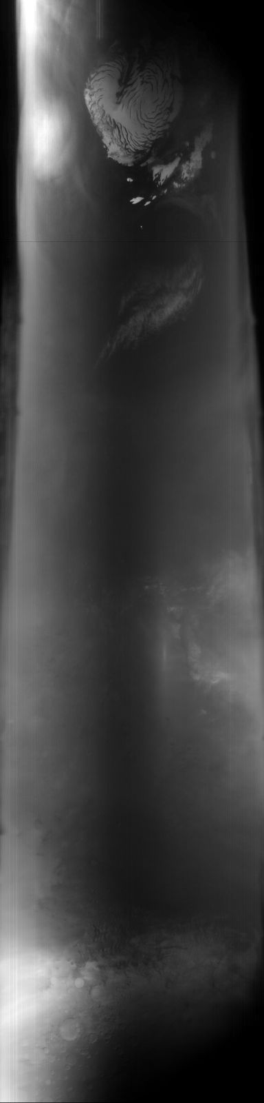
MOC global-map image R03-00297
global map swath

Ancillary data for MOC global-map image R03-00297
Acquisition parameters
     Image ID (picno): R03-00297
     Image start time: 2003-03-06T04:07:24.51 SCET
         Image  width:    384      pixels
         Image height:   1600      pixels
Line integration time:     80.4800 millisec
    Downtrack summing:     27
     Compression type: MOC-DCT-1
            Gain mode:     46 (hexadecimal)
          Offset mode:      5 (decimal)
|
Derived values
Longitude of image center: 250.90°W Latitude of image center: 18.97°N Scaled pixel width: 7125.77 meters Scaled image width: 0.00 km Scaled image height: 10364.73 km Solar longitude (Ls): 147.54° Local True Solar Time: 14.16 decimal hours Emission angle: 17.49° Incidence angle: 38.36° Phase angle: 41.52° North azimuth: 93.81° Sun azimuth: 1.23° Spacecraft altitude: 398.46 km Slant distance: 415.60 km |
Policy regarding use of processed images
Release date: 20 April 2004