 |
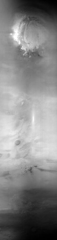
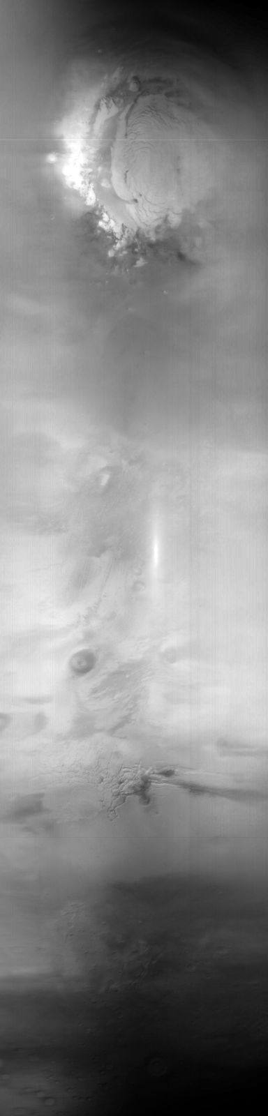
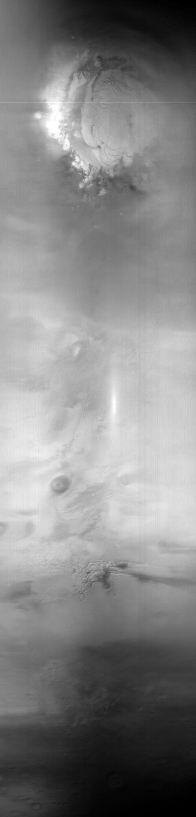
MOC global-map image M21-00332
global map swath
Ancillary data for MOC global-map image M21-00332
Acquisition parameters
     Image ID (picno): M21-00332
     Image start time: 2000-11-05T23:53:01.70 SCET
         Image  width:    384      pixels
         Image height:   1600      pixels
Line integration time:     80.4800 millisec
    Downtrack summing:     27
     Compression type: MOC-DCT-1
            Gain mode:     2A (hexadecimal)
          Offset mode:      5 (decimal)
|
Derived values
Longitude of image center: 98.99°W Latitude of image center: 28.71°N Scaled pixel width: 6841.41 meters Scaled image width: 0.00 km Scaled image height: 10243.80 km Solar longitude (Ls): 72.31° Local True Solar Time: 13.57 decimal hours Emission angle: 0.77° Incidence angle: 27.90° Phase angle: 27.29° North azimuth: 93.45° Sun azimuth: 0.79° Spacecraft altitude: 403.60 km Slant distance: 403.63 km |
Policy regarding use of processed images
Release date: 8 October 2001