 |
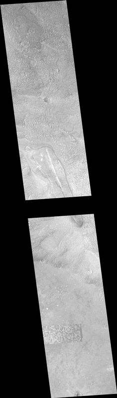
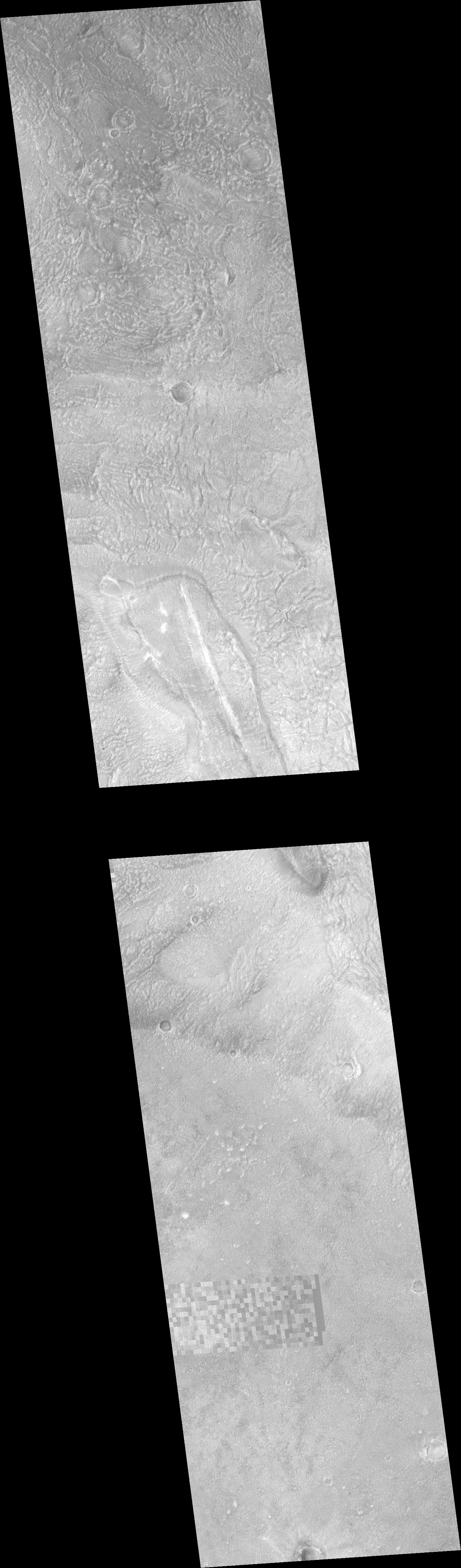
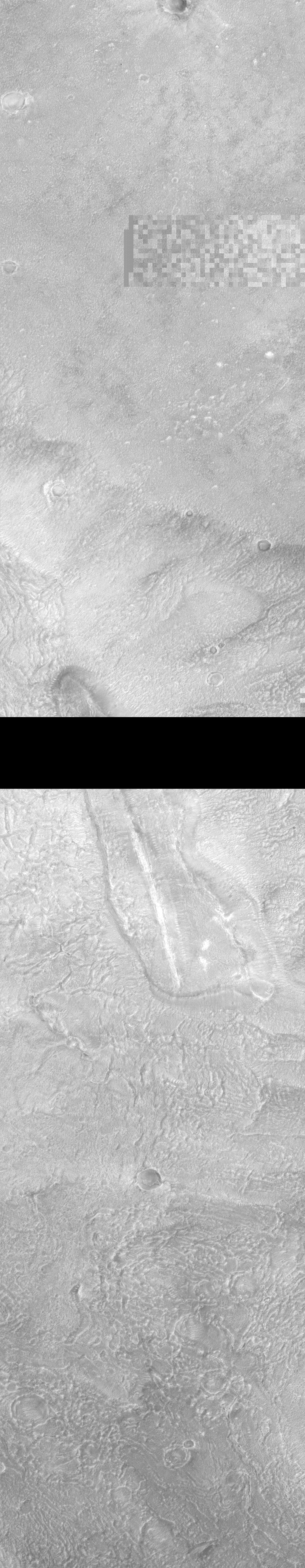
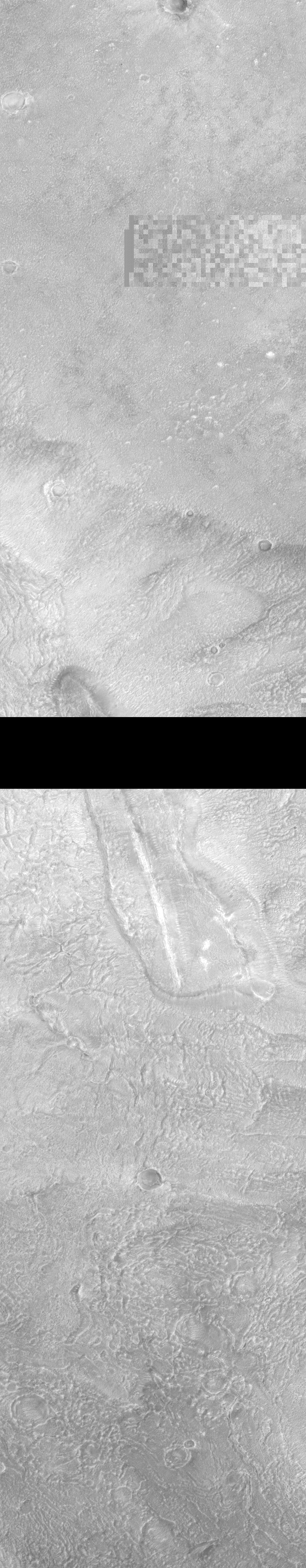
MOC narrow-angle image M18-00606
Ridge surrounded by crater ejecta in Cydonia
Ancillary data for MOC narrow-angle image M18-00606
Acquisition parameters
     Image ID (picno): M18-00606
     Image start time: 2000-08-10T10:03:56.77 SCET
         Image  width:   1024      pixels
         Image height:   5248      pixels
Line integration time:      0.6026 millisec
   Pixel aspect ratio:      1.17
   Crosstrack summing:      2
    Downtrack summing:      2
     Compression type: MOC-DCT-3
            Gain mode:     4A (hexadecimal)
          Offset mode:     34 (decimal)
|
Derived values
Longitude of image center: 9.19°W Latitude of image center: 41.32°N Scaled pixel width: 3.09 meters Scaled image width: 3.17 km Scaled image height: 19.01 km Solar longitude (Ls): 33.56° Local True Solar Time: 13.56 decimal hours Emission angle: 0.23° Incidence angle: 34.43° Phase angle: 34.37° North azimuth: 93.89° Sun azimuth: 317.17° Spacecraft altitude: 413.65 km Slant distance: 413.65 km |
Policy regarding use of processed images
Release date: 4 April 2001