 |
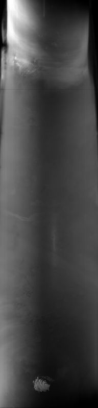
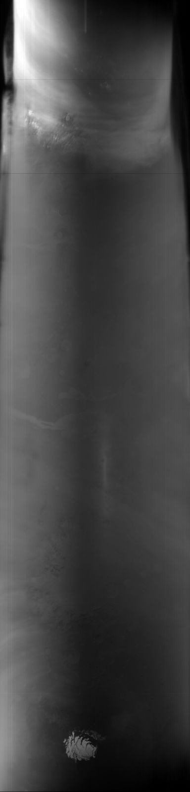
MOC global-map image E14-00611
global map swath
Ancillary data for MOC global-map image E14-00611
Acquisition parameters
     Image ID (picno): E14-00611
     Image start time: 2002-03-11T23:39:58.12 SCET
         Image  width:    384      pixels
         Image height:   1600      pixels
Line integration time:     80.4800 millisec
    Downtrack summing:     27
     Compression type: MOC-NONE
            Gain mode:     56 (hexadecimal)
          Offset mode:      5 (decimal)
|
Derived values
Longitude of image center: 43.82°W Latitude of image center: 7.64°S Scaled pixel width: 6853.37 meters Scaled image width: 0.00 km Scaled image height: 10487.32 km Solar longitude (Ls): 340.56° Local True Solar Time: 12.79 decimal hours Emission angle: 17.25° Incidence angle: 18.83° Phase angle: 25.38° North azimuth: 93.57° Sun azimuth: 0.76° Spacecraft altitude: 383.16 km Slant distance: 399.24 km |
Policy regarding use of processed images
Release date: 4 April 2003