 |
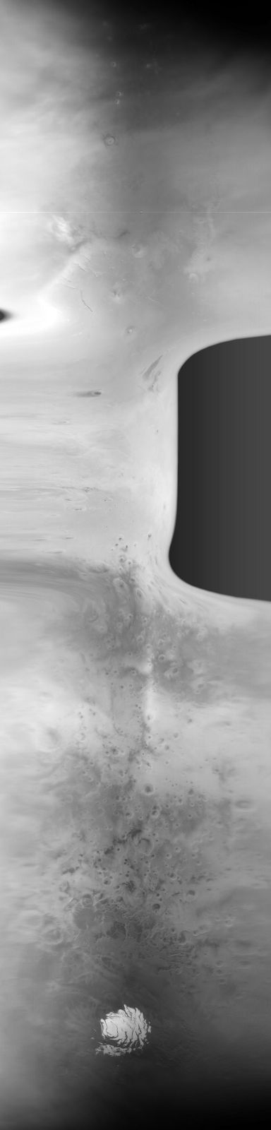
MOC global-map image E12-01722
global map swath

Ancillary data for MOC global-map image E12-01722
Acquisition parameters
     Image ID (picno): E12-01722
     Image start time: 2002-01-15T23:03:09.84 SCET
         Image  width:    384      pixels
         Image height:   1600      pixels
Line integration time:     80.4800 millisec
    Downtrack summing:     27
     Compression type: MOC-NONE
            Gain mode:     4A (hexadecimal)
          Offset mode:      5 (decimal)
|
Derived values
Longitude of image center: 200.47°W Latitude of image center: 20.59°S Scaled pixel width: 9329.66 meters Scaled image width: 56.99 km Scaled image height: 10408.32 km Solar longitude (Ls): 309.87° Local True Solar Time: 13.12 decimal hours Emission angle: 39.70° Incidence angle: 22.51° Phase angle: 25.50° North azimuth: 93.89° Sun azimuth: 3.63° Spacecraft altitude: 378.02 km Slant distance: 475.36 km |
Policy regarding use of processed images
Release date: 7 October 2002