 |
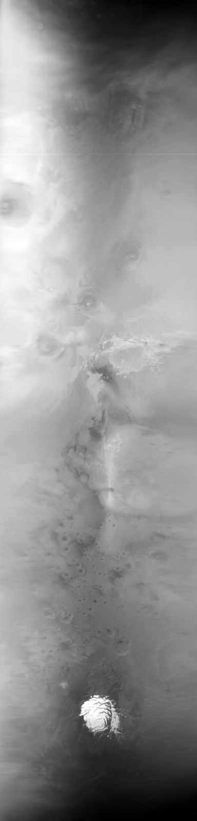
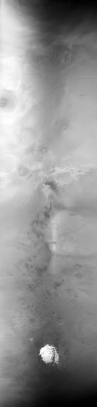
MOC global-map image E11-04237
global map swath

Ancillary data for MOC global-map image E11-04237
Acquisition parameters
     Image ID (picno): E11-04237
     Image start time: 2001-12-29T05:13:53.69 SCET
         Image  width:    384      pixels
         Image height:   1600      pixels
Line integration time:     80.4800 millisec
    Downtrack summing:     27
     Compression type: MOC-NONE
            Gain mode:     4A (hexadecimal)
          Offset mode:      5 (decimal)
|
Derived values
Longitude of image center: 107.53°W Latitude of image center: 22.39°S Scaled pixel width: 6688.62 meters Scaled image width: 0.00 km Scaled image height: 10338.67 km Solar longitude (Ls): 299.38° Local True Solar Time: 12.99 decimal hours Emission angle: 17.50° Incidence angle: 20.31° Phase angle: 25.98° North azimuth: 93.86° Sun azimuth: 1.43° Spacecraft altitude: 376.88 km Slant distance: 393.21 km |
Policy regarding use of processed images
Release date: 7 October 2002