 |
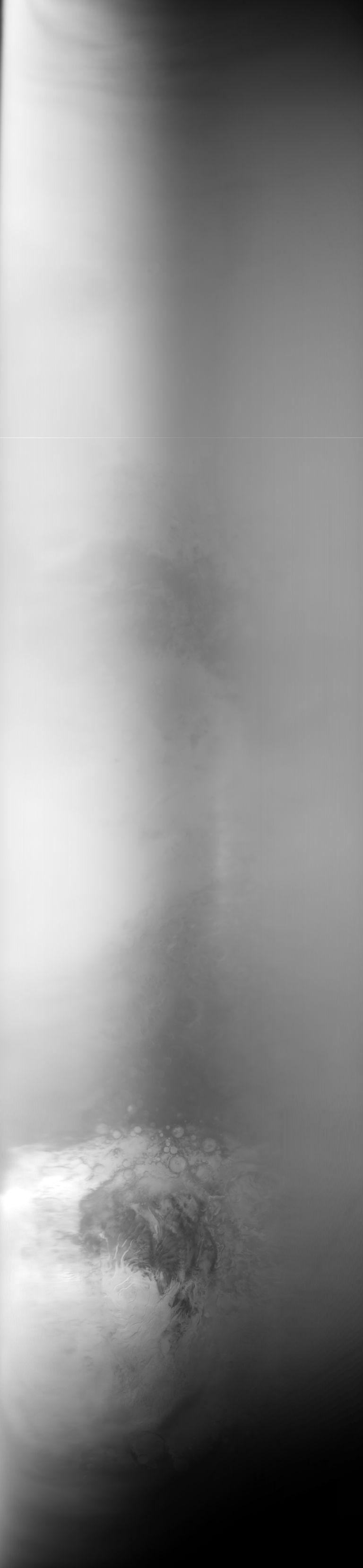
MOC global-map image E08-00981
global map swath

Ancillary data for MOC global-map image E08-00981
Acquisition parameters
     Image ID (picno): E08-00981
     Image start time: 2001-09-19T23:21:15.09 SCET
         Image  width:    768      pixels
         Image height:   3312      pixels
Line integration time:     80.4800 millisec
    Downtrack summing:     13
     Compression type: MOC-NONE
            Gain mode:     4A (hexadecimal)
          Offset mode:      5 (decimal)
|
Derived values
Longitude of image center: 264.52°W Latitude of image center: 32.43°S Scaled pixel width: 3187.53 meters Scaled image width: 0.00 km Scaled image height: 10211.71 km Solar longitude (Ls): 236.75° Local True Solar Time: 14.03 decimal hours Emission angle: 17.76° Incidence angle: 35.33° Phase angle: 34.96° North azimuth: 93.87° Sun azimuth: 13.47° Spacecraft altitude: 373.81 km Slant distance: 390.53 km |
Policy regarding use of processed images
Release date: 7 October 2002