 |
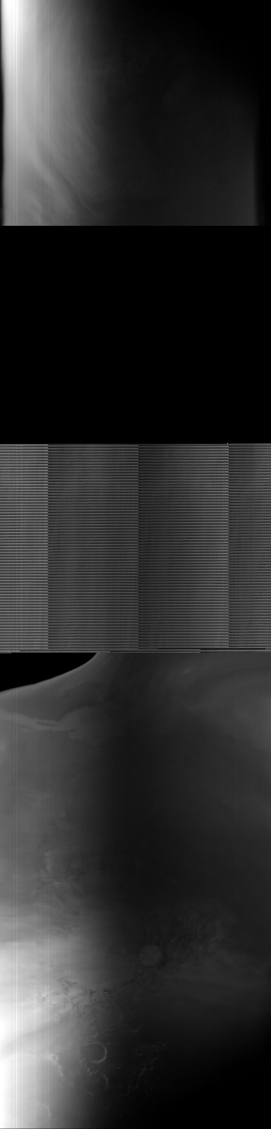
MOC global-map image E04-01506
global map swath

Ancillary data for MOC global-map image E04-01506
Acquisition parameters
     Image ID (picno): E04-01506
     Image start time: 2001-05-20T01:31:34.73 SCET
         Image  width:    384      pixels
         Image height:   1600      pixels
Line integration time:     80.4800 millisec
    Downtrack summing:     27
     Compression type: MOC-NONE
            Gain mode:     66 (hexadecimal)
          Offset mode:      5 (decimal)
|
Derived values
Longitude of image center: 46.36°W Latitude of image center: 9.27°N Scaled pixel width: 8365.02 meters Scaled image width: 136.88 km Scaled image height: 10466.06 km Solar longitude (Ls): 164.17° Local True Solar Time: 13.94 decimal hours Emission angle: 27.83° Incidence angle: 36.03° Phase angle: 61.81° North azimuth: 95.04° Sun azimuth: 3.62° Spacecraft altitude: 393.40 km Slant distance: 438.56 km |
Policy regarding use of processed images
Release date: 7 May 2002